This is when thunder and rain will hit Sheffield this weekend


A yellow weather warning has been issued for Yorkshire and the Humber, including Sheffield, as thunderstorms are expected to hit between 2pm and 11.45pm on Friday (July 27).
This weather warning is also currently in place in other parts of the UK, including East Midlands, East of England, North East England and North West England.
Advertisement
Hide AdAdvertisement
Hide Ad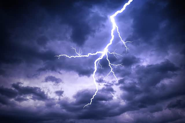
Thunderstorms are expected to develop during Friday afternoon, lasting well into the evening, with a maximum temperature of around 27C.
Where these thunderstorms do take place, torrential downpours with a much as 30 mm of rainfall in 1 hour and 60 mm in 3 hours could occur.
Large hail and strong, gusty winds are additional hazards.
Saturday is also expected to see light rain showers throughout the day, accompanied by a fresh breeze and some sunny intervals and some periods of pure sunshine. Maximum temperature will be around 21C.
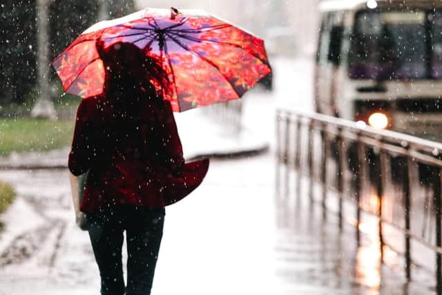
Sunday will also see light rain throughout the day, again accompanied by a breeze, but it is set to be mostly overcast. Maximum temperature will be 20C.
Met Office weather warning- what to expect
Advertisement
Hide AdAdvertisement
Hide AdYellow and Amber warnings represent a range of impact levels and likelihoods, which can include damage to property, travel delays and cancellations, loss of water supplies and power cuts.
According to the Met Office this yellow weather warning means:
-There is a small chance that homes and businesses could be flooded quickly, with damage to some buildings from flood water, lightning strikes, hail or strong winds
-Where flooding or lightning strikes occur, there is a chance of delays and some cancellations to train and bus services
Advertisement
Hide AdAdvertisement
Hide Ad-Spray and sudden flooding could lead to difficult driving conditions and some road closures
-There is a slight chance that power cuts could occur and other services to some homes and businesses could be lost