A new interactive map breaks down the number of people testing positive for coronavirus by neighbourhood from September 11-September 17, revealing the spots with the highest infection rate.
The map, produced by Public Health England, only shows those areas with three or more cases during the latest week.
Here’s the full list of all neighbourhoods within Sheffield in which three or more confirmed cases of coronavirus were recorded.
Areas that recorded less than five cases from September 11-15 are as follows:
Springvale and Steelbank- 4
Upperthorpe and Netherthorpe- 4
Malin Bridge and Wisewood- 4
Grenoside and Ecclesfield North- 4
Walkley- 3
Batemoor and Jordanthorpe- 3
Wadsley and Marcliffe- 3
Shirecliffe and Parkwood Springs- 3
Dore and Whirlow- 3
Beauchief- 3
Greenhill and Lowedges- 3
Norton and Norton Lees- 3
Meersbrook- 3
Herdings and Gleadless Valley- 3
Birley- 3
Woodhouse West- 3
Park Hill and Wybourn- 3
Cathedral and Kelham- 3
Devonshire Quarter- 3
Endcliffe and Ranmoor- 3
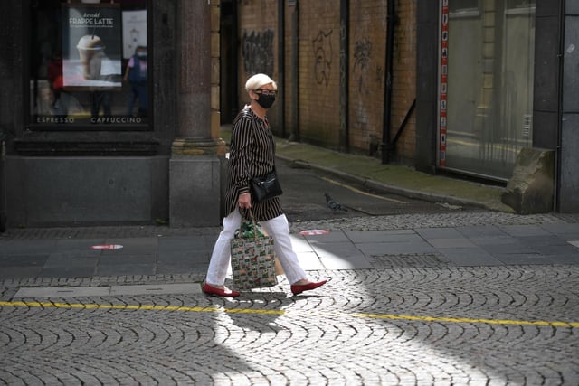
1. A shopper wears a face mask in the city centre of Sheffield, south Yorkshire on July 24, 2020, as lockdown restrictions continue to be eased during the novel coronavirus COVID-19 pandemic. - Face coverings are now compulsory for customers in shops in England, as new coronavirus rules came into force on Friday. (Photo by Oli SCARFF / AFP) (Photo by OLI SCARFF/AFP via Getty Images)
A shopper wears a face mask in the city centre of Sheffield (Photo by OLI SCARFF/AFP via Getty Images) Photo: OLI SCARFF
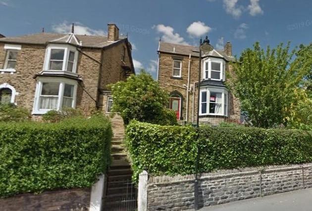
2. NETHER EDGE- 13
According to the map, 13 new coronavirus cases were recorded in Nether Edge between September 11-17. Photo: Google Maps
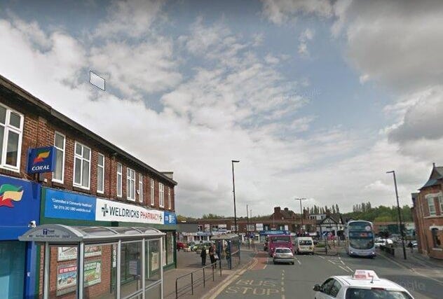
3. DARNALL- 13
Darnall also recorded one of the highest increases in cases- 13 between September 11-17. Photo: Google Maps
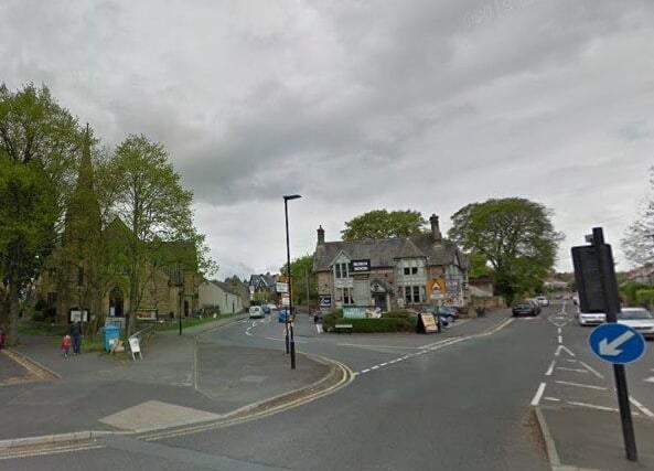
4. BENTS GREEN AND MILLHOUSES- 11
There were 11 new cases in this area within the past week. Photo: Google Maps